Categories > Guides and Tips
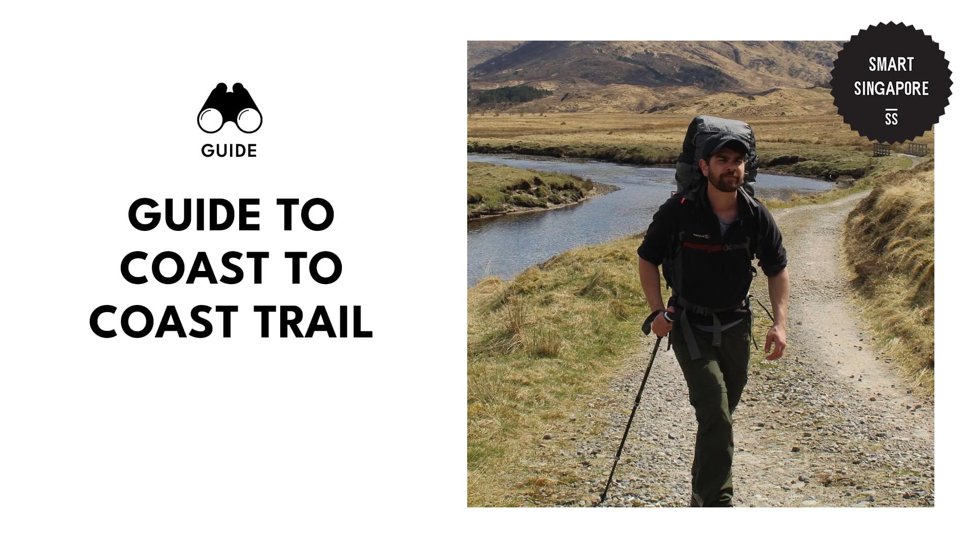
An All-Levels Hiker’s Guide to the Coast to Coast Trail

The first time I tackled this trail, it was a humid Sunday, and all I had was a packed lunch, a water bottle, and not too much confidence. By the time I hit Bishan-Ang Mo Kio Park, my legs were questioning my life choices, but my eyes were thanking me for the views.
It’s a crash course in how green Singapore really is, as it weaves through parks, estates, and nature reserves. Let me be your virtual guide on the challenges and rewards of Singapore’s Coast-to-Coast Trail.
What is Singapore’s Coast-to-Coast Trail?
The Coast to Coast Trail stretches across Singapore, linking Jurong Gardens to Coney Island Park. It’s a 36 km journey that blends green spaces with urban paths, best done on foot or by bike.
On average, it takes 8 to 10 hours to walk, or 3 to 5 hours to cycle without long breaks (I’ve walked it once and cycled on it twice). Either way, expect to spend your whole day if you’re taking your time.
What I like is how it connects pockets of biodiversity with city life. The trail isn’t too tough, but it does require decent stamina, especially under the sun.
Things to Know
Starting point: Jurong Lake Gardens, Yuan Ching Rd
Hours: Open 24 hours, though Coney Island Park (end of trail) is from 7 AM to 7 PM daily
Accessibility:
- Varying levels of accessibility for PWDs and mobility-challenged individuals
- Wheelchair rentals are available at Jurong Lake Gardens (8.30 AM to 6.30 PM)
- Complimentary shuttle services connect to key areas of the park
- Limited accessibility on the rest of the trail due to uneven terrain, slopes, and a lack of sufficient shade
Amenities: Restrooms, water fountains, shaded rest areas, dog runs, cafes, and seats are available at various points of the trail
Pet-friendly? Yes, but keep dogs leashed, keep them away from wildlife, and clean up after them
Rules and restrictions:
- Keep operating hours of certain parks in mind (like Coney Island, which closes at 7 PM)
- Stay on designated paths for hiking, walking, biking, or running
- No littering
- No feeding or disturbing of wildlife
- No camping, open fires, or off-trail biking
- Carry a mobile phone, sufficient water supplies, and a first-aid kit
- Wear appropriate footwear, sunblock, and breathable hiking clothes
How to Get There
By MRT: To reach the starting point of the Coast-to-Coast Trail at Jurong Lake Gardens, take the MRT’s East-West Line and alight at Lakeside Station (EW26). From Exit C, it’s a short 5 to 10-minute walk along Yuan Ching Road to the garden’s entrance.
By bus: Take bus services 154, 246, 49, or 240. Alight at the Chinese Garden bus stop (ID 21659) along Yuan Ching Road. From there, you can walk to the garden’s entrance.
By car/taxi drop-off: Input Jurong Lake Gardens into your navigation app and head to 100 Yuan Ching Road. The main drop-off point is accessible via Chinese Garden Road, leading to the North Carpark.
Do note that parking is free only from 5 AM to 8.30 AM, and noon to 2 PM daily. Parking outside these hours will cost S$0.60 per 30 minutes.
Trail Highlights
Jurong Lake Gardens
Media from teoh_jass
Trail location: Official trailhead near the North Carpark
Notable feature: Rasau Walk Boardwalk
Jurong Lake Gardens set the bar high when I kicked off my Coast-to-Coast Trail adventure. The Rasau Walk boardwalk offered peaceful lake views, while the Grasslands became a great photo op stop when it was too early for crowds.
There, I spotted herons, monitor lizards, and even a few terrapins sunning themselves. It’s a spacious and well-kept park that’s perfect for warming up before the long trek ahead.
Pro-tip: Start your hike at sunrise to catch the cool breeze and golden light over the lake.
Bukit Batok Nature Park
Media from jayson231985
Trail location: Checkpoint 2, Bukit Batok East Avenue 2
Notable feature: High lookout points
I took a short detour into Bukit Batok Nature Park and was glad I did. The quarry lake was quiet and oddly calming, which gave me more stamina to push through with the hike.
The uphill paths led to lookout points with decent views and fewer people, too. And it’s mostly shaded, which gave my legs a break from the sun.
Pro-tip: Bring binoculars if you’re into birds; I caught sight of a kingfisher near the pond.
MacRitchie Reservoir Park
Media from joanpiper356xia
Trail location: Checkpoint 4 via Lornie Road
Notable feature: TreeTop Walk suspension bridge
MacRitchie Reservoir Park was one of the best parts of the trail for me. I entered from Lornie Nature Corridor and hit the boardwalks just as the morning mist was lifting, and it was a glorious experience.
The TreeTop Walk was a bit of a detour, but worth it for the canopy views and serenity. I spotted a few macaques near the water, so I kept my snacks buried deep inside my bag just to be safe.
Pro-tip: It can get really humid, especially in midday, so bring extra drinking water and take your time in the heart of the forest.
Bishan-Ang Mo Kio Park
Media from ella.gir.l
Trail location: Checkpoint 5, Marymount Road
Notable feature: River with wildlife
Bishan-Ang Mo Kio Park felt like a breath of fresh air halfway through the Coast-to-Coast Trail. The winding river there used to be a concrete canal, but now it’s all wildflowers, herons, and butterflies.
I followed the main path and made a quick climb up Recycle Hill for a better view. It’s not high, but the breeze up there was great. The stretch with the tall Khaya and cannonball trees was shady and quiet, and ideal for a water break.
Pro-tip: If you’re biking, take the cycling paths that seamlessly connect to the Kallang Park Connector for an uninterrupted ride.
Lower Peirce Reservoir Park
Trail location: Jacaranda Entrance
Notable feature: Fishing decks
Lower Peirce Reservoir Park is a serene detour along the Coast-to-Coast Trail, accessible via Jacaranda Entrance off Old Upper Thomson Road. I took a break there to enjoy the calm water views and the quiet of the forest canopy.
The 900-metre boardwalk winds through mature secondary forests and hugs the reservoir’s edge (fishing is allowed there, so I’ll bring my rod and artificial baits next time!). It’s a short but worthwhile stop if you want to slow down and soak in the scenery before continuing on the main trail.
Pro-tip: Apply mosquito repellent and rehydrate at this place, as amenities are limited along the trail.
Sengkang Riverside Park
Media from itcow
Trail location: Near Sengkang Floating Wetland
Notable feature: Fruit tree plantation
Sengkang Riverside Park surprised me with how peaceful it was. It offered wide river trails, lalang fields, and even the occasional flashes of otters by the water!
I took my time wandering through the fruit tree plantation and spotted signs pointing out uncommon plants like nutmeg and starfruit. It’s a chill, scenic stretch before the final push toward the end of the Coast-to-Coast Trail.
Pro-tip: The floating Wetland is a cool feature and worth a short pause to refresh if you’re cycling through.
Punggol Waterway Park
Media from xuxiaot
Trail location: Checkpoint 8, adjacent to Waterway Point
Notable feature: Themed zones
Punggol Waterway Park was one of the smoother parts of the trail. It had wide paths, clean views, and lots of spots to rest and regroup before pushing on.
I followed the river past themed zones like the Nature Cove and Recreation Zone without needing to check my map once. Plus, the jogging path was flat and well-marked, which helped me pick up my pace before heading to Coney Island.
Pro-tip: There are several viewing decks to drink the golden hour in, so take advantage of them.
Coney Island Park
Media from genmagelle
Trail location: West Entrance near Punggol Settlement
Notable feature: Hidden beach spots
Coney Island Park was the perfect quiet ending after the long cross-island trek.
I saw mudskippers near the mangroves and even a family of otters by one of the bridges.
The dirt trails and scattered beach island access points made it feel more untouched than the rest of the route. But always remember that the park closes at 7 PM sharp, so plan your Coast-to-Coast trail finish accordingly.
Pro-tip: Aim to finish your hike by late afternoon, as there will be no lights or water points in the park not long after the sun sets.